
By: Trinity Lavenhouse
On our last full day in Colorado, we got a chance to meet Ethan Greene, director of Colorado Avalanche Info Center. At the Colorado Avalanche Info Center, scientists monitor all the avalanche-prone areas for the entire state of Colorado. Their job is to predict and forecast avalanche probability during the winter and protect the residential, recreation, and highway areas where avalanche activity could affect people. Ethan Greene took us to three sites where we would look at the scars of past avalanches that impacted residential areas as well as highways.
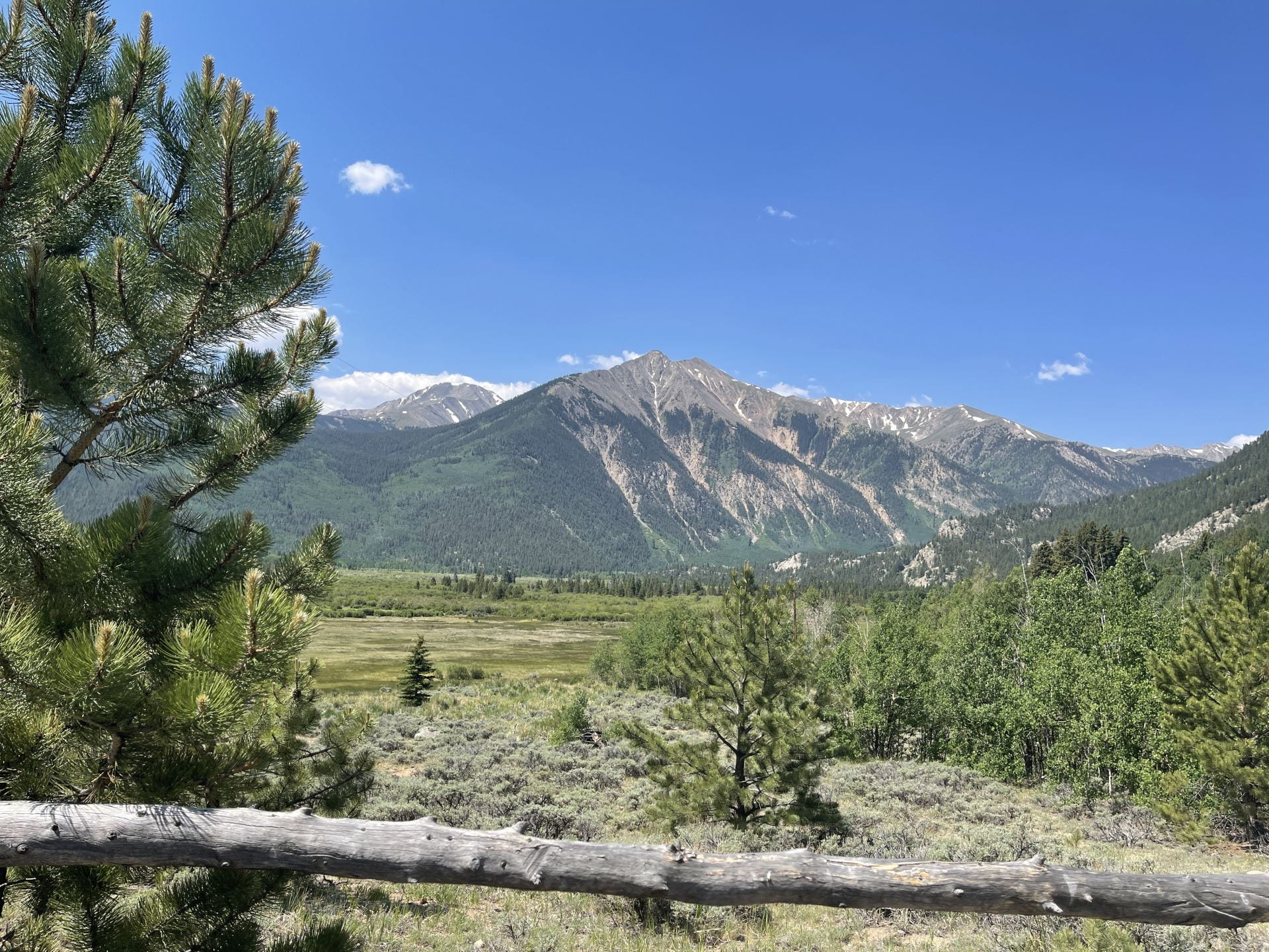
At the first site, we looked at avalanche scars on the far-off mountains. We learned from Ethan Green that avalanches in Colorado are usually caused by the sun’s heat. At the surface where the snow reflects light, it releases most of the heat effectively. It is actually deeper down in the snow that the heat gets trapped. The heat changes the structure of the snow, effectively recrystallizes the snow in layers below the surface. The difference in the structure of the layers allows snow sheets to slide and then snap off, thus becoming an avalanche.
At one specific site, we saw evidence of avalanche scaring, where the avalanche literally swiped the trees off the mountain on its way down. In the early days of Colorado’s settlement, there was a town at the base of this same mountain. One year, there was an avalanche that buried the town. The residents managed to escape and then simply moved their town to where it stands today.
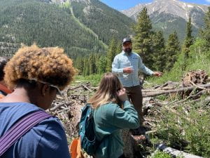
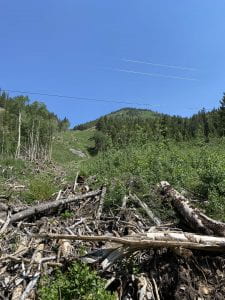
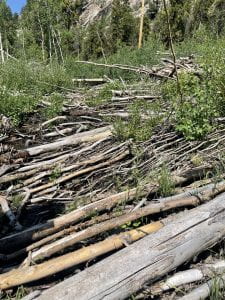
At the second site, we stopped by a debris pile made from trees that were uprooted and dragged down the mountain with the avalanche. Looking up the mountain you could see all the trees were pointing downhill. Ethan Greene informed us that aspen trees grow really fast, so it is common to see aspen trees growing where previous trees were taken down by avalanches.
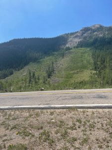
The last site Ethan Greene took us near the highway, we got to see where 2 avalanches crossed the highway. One avalanche on “Star Mountain A” was triggered by snowboarders. One interesting fact about the Mountain A avalanche is that it followed the exact path that was mapped out 30 years prior! On the other side of the highway you could see major avalanche scars from an avalanche from 2019. The avalanche came down from a mountain, crossed the highway, and ran up the side of another mountain. We could see the trees pointing downward on the initial mountain then point upward on the other mountain. We could also see some trees that are continuing to grow because the avalanche that impacted them bent the tree but it did not break them, so they are still alive. This was personally my favorite site.
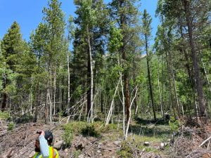
Example of trees continuing to grow after avalanche damage
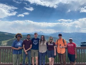
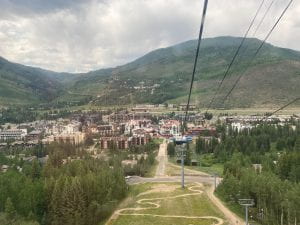
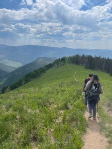
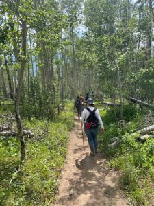
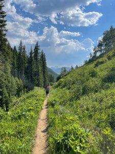
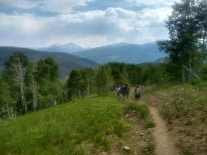
To end the day, our entire group went to Vail where we took a gondala up Vail mountain and hiked down. The hike was about an hour and a half long and we got to see beautiful sites all the way down.