

By Neel Rathod
06/20/2021
Day 3: Sunday 20 June
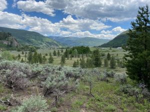
On day three of our field trip to Colorado, we visited some wetlands on our way to a historical site known as Camp Hale, which is approximately 15-miles from Minturn, along a cliffside road. It is not for the faint of heart for those who are afraid of traveling at the edge of a mountain, as the road demands the driver’s complete focus. Fortunately for us, it was smooth sailing with Dr. Sylvia Dee’s expert driving skills.

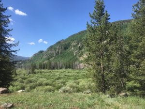
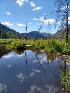
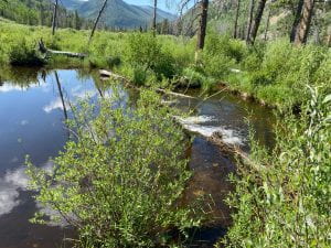
As we drove from Minturn towards Camp Hale, Liz pointed out the transition from a step V-shaped valley carved by the fast-flowing river water to a shallow U-shaped valley carved by a glacier. Before long, we stopped and visited the wetlands that sit within the U-shaped valley. Dr. Mark Torres and Will Larsen pointed out the difference in the behavior of the rivers within the wetlands compared to the Eagle River back at Minturn. The velocity was significantly lower, which explained why the rocks surrounding the river banks were much smaller.
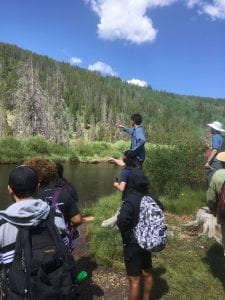
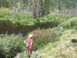
We also learned about the important role of beavers within the ecosystem of the wetlands. Not only are they “nature’s firefighters”, but they also alleviate droughts and reduce flooding. During times of heavy snow melt or precipitation, the beaver dams act as a speed bump to control the velocity of flowing water which helps to not only reduce erosion, but flooding downstream. Surprisingly, the gradual release of water stored within the dams actually minimizes the effects of drought on the land downstream. Additionally, the dams, along with the riparian ecosystem, create a natural water filter by capturing pollutants, consequently improving the quality of water further downstream.
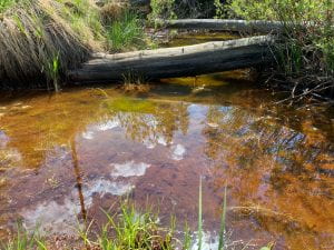
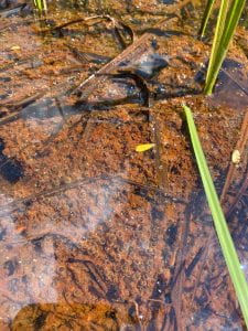
This area within the wetlands, where the water was red and orange, as pointed out by Dr. Torres, is caused by iron-oxidizing microbes that convert ferrous salt into ferric salt which is what give the water its red color.
Camp Hale:
Background: Camp hale was an Army training camp during World War II. It has an elevation of approximately 9,200 feet above sea level. The goal of the camp was to train soldiers on how to survive in the cold climate. After the War, a few veterans were able to successfully start the skiing industry within the Eagle County.
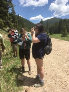
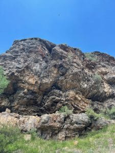
Jackson Borchardt showed us how to use our hand lens to get a closer look at the subtle differences within the rocks. The lens magnifies the surface to reveal the size, texture, and the arrangement of the mineral grains within the rocks, which help us identify the different rock types. The notable geological formation at camp hale is primarily sedimentary and metamorphic rocks. Jackson pointed out that local rocks date back all the way to the Late Pennsylvanian period, which spans a range in age from 299 to 318 million years ago.
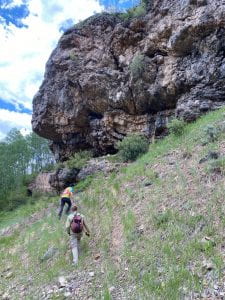
Towards the end of the trip, we came across a Karst Topography which is the result of the erosion of carbonate rocks to form caves and tall cliffs. We discovered lots of animal droppings within the entrance of one of the caves.
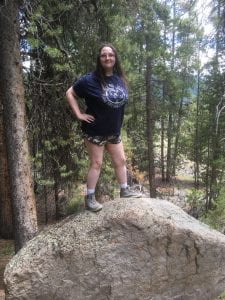
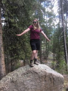
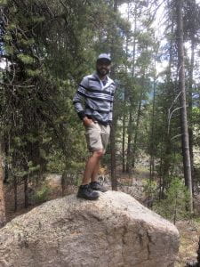
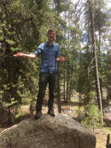
At the end of the day we stopped by a moraine deposit which is an accumulation of rock debris that has been scraped and carried by a glacier as it moves downslope. A large boulder, called a glacial erratic, presented a perfect opportunity to pose for a picture.


As for the remainder of the day, we had some time to relax and reflect on what we had learned so far. Zach and I went on the mine mile hike and observed the biodiversity of local plants and insects. We ended the day with lovely Italian-themed dinner made by Chris, Trinity, and Janae!