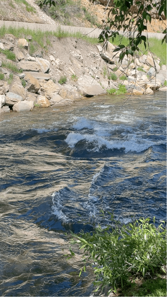
Our second day in Minturn entailed a hydrology discussion led by Will Larsen. We began with a (very) short hike across the street from the hotel, to view the Eagle River and talk about how water ends up in rivers like this one. Water accumulates in mountain rivers through a combination of snow melt, precipitation, and groundwater traveling through the saturated hyporheic zone. We also learned that water entering rivers can take a very long time, so the drinking water we take may have been underground for hundreds to thousands of years!

We found that the shape of a river is also largely determined by how much water is flowing through and at what speed. A river with a high gradient likely will move faster with more energy, which causes it to be straight and narrow. These rivers can also transport more sediments and sediments of a larger size. A river with a low gradient will move slowly with lots of meanders. These meanders are the perfect place for erosion and deposition to take place, so we see much more change in the river geometry over time.
An example of the first river type is the Eagle River at Minturn. We saw a straight and narrow river geometry due to the high volume of water coming in and moving at a high velocity.
To see the contrast between our observation of the first type of river and the second type, we travelled a short distance to Cross Creek where we saw a lower energy and gradient river. This river displayed many meanders and even had evidence of beaver damming activity.

At Cross Creek, we also discussed how watersheds work and how it is difficult to estimate the amount of water going into a given watershed. Water enters and leaves a watershed through a process called the water cycle. Precipitation brings water into the system, where it can enter the river and travel out of the watershed or be stored as groundwater. Much of this water is used by plants as well, so we see an output of water through evaporation from water and transpiration from water stored in plants. Overall, these two parts of inflow and outflow can be thought of as discharge of water from the river and surrounding watershed, and recharge of water to the system from precipitation. This discussion gave us an idea of the study of hydrology and how the river systems of Colorado are connected into a major source for much of the American West.
After returning to the hotel, we had an activity where we used the USGS database and website to view river discharge and other water measurements to see how our discussion applies to a variety of rivers and watersheds. We were able to look at our favorite rivers and make guesses as to events that may have occurred to increase or decrease flow.
Written by Mia Olson